

Minster FM News


LISTEN - Council faces protest over Leeman Road closure plan in York
SHARE THIS STORY:
Published by David Dunning at 12:16pm 10th June 2020. (Updated at 4:31pm 12th June 2020)
If you want to keep Leeman Road open, you’ve got less than a month to have your say.
A 28-day ‘objection period’ got underway yesterday (Tuesday, 9 June) and runs until midnight on Tuesday 7 July.
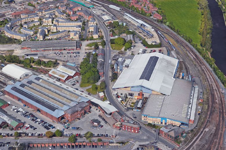
It comes after City of York Council applied to the Department for Transport to permanently close the road with a ‘stopping up order’, to enable the National Railway Museum (NRM) to extend their site and connect their two buildings across it.
Three councillors have urged residents to make the most of their “last chance” if they want to stop Leeman Road closing.
Holgate Ward councillors David Heaton, Rachel Melly, and Kallum Taylor say the plans have raised a range of strong concerns with residents and workers about the impact this will have on their access to and from the city centre.

According to the Labour councillors, shutting Leeman Road would force pedestrians, wheelchair users and cyclists to travel through a longer route as the development is being built.
Alternatively they could use the “pretty-but-problematic riverside route from Jubilee Terrace, which is poorly lit of an evening, too narrow even for current traffic, and regularly prone to flooding”.
Car users “would either have access via Kingsland Terrace onto a longer ‘spine road’ running through the new development or, much more significantly, only have access in and out of this area via Salisbury Road onto Water End”.
LISTEN - KALLUM TAYLOR on Minster FM:
Councillor Leader Keith Aspden has this message for local people: It's important that you give your feedback to the council:
Residents can offer their views about the Stopping Up Order to close Leeman Road by emailing the DfT on nationalcasework@dft.gov.uk or by writing to them at National Transport Casework Team, Tyneside House, Skinnerburn Road, Newcastle upon Tyne, NE4 7AR.
You should quote the reference “NATTRAN/Y&H/S247/3854” so it is recorded properly.
Main image from Google Maps
SHARE THIS STORY: